


147 documents

Spatial Computing
Lucia Rebolino, Erin McElroy, Mimi Ọnụọha, Dare Brawley, Lai Yi Ohlsen, Tega Brain, and Sam Lavigne
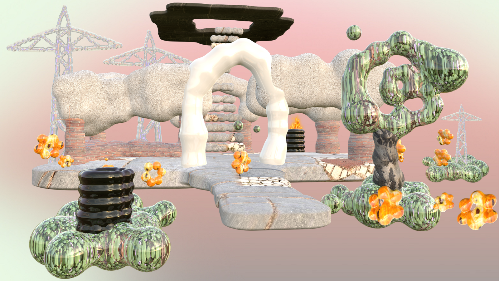
Architecture Project
Posted: June 28, 2024
Category
Architecture, Urbanism, Data & Information, Technology, Design
Subjects
Infrastructure, Maps
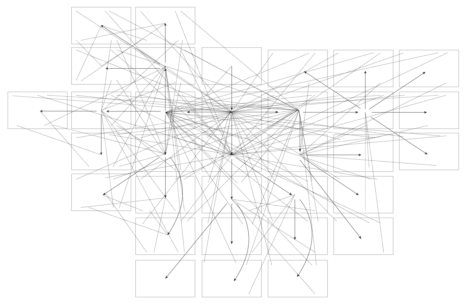
Spatial Computing
How Tall is the Internet?
Lai Yi Ohlsen
Architecture Essay
Posted: June 26, 2024
Category
Architecture, Internet, Data & Information
Subjects
Infrastructure, Maps

Spatial Computing
Architecture Essay
Posted: June 19, 2024
Category
Architecture, Urbanism, Technology, Capitalism, Economy, Data & Information
Subjects
Money & Finance, Maps, Protests & Demonstrations
Gwangju Biennale
2024 Gwangju Biennale Pavilion
e-flux Announcement
Posted: June 19, 2024
Category
Contemporary Art
Subjects
Sound Art, Maps
Institution
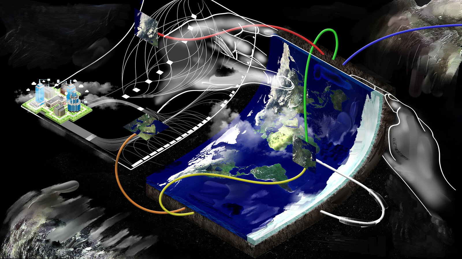
Spatial Computing
Editorial
Laura Kurgan, Adam Vosburgh, and e-flux Architecture
Architecture Essay
Posted: June 17, 2024
Category
Architecture, Urbanism, Technology, Data & Information, Design
Subjects
Infrastructure, Maps
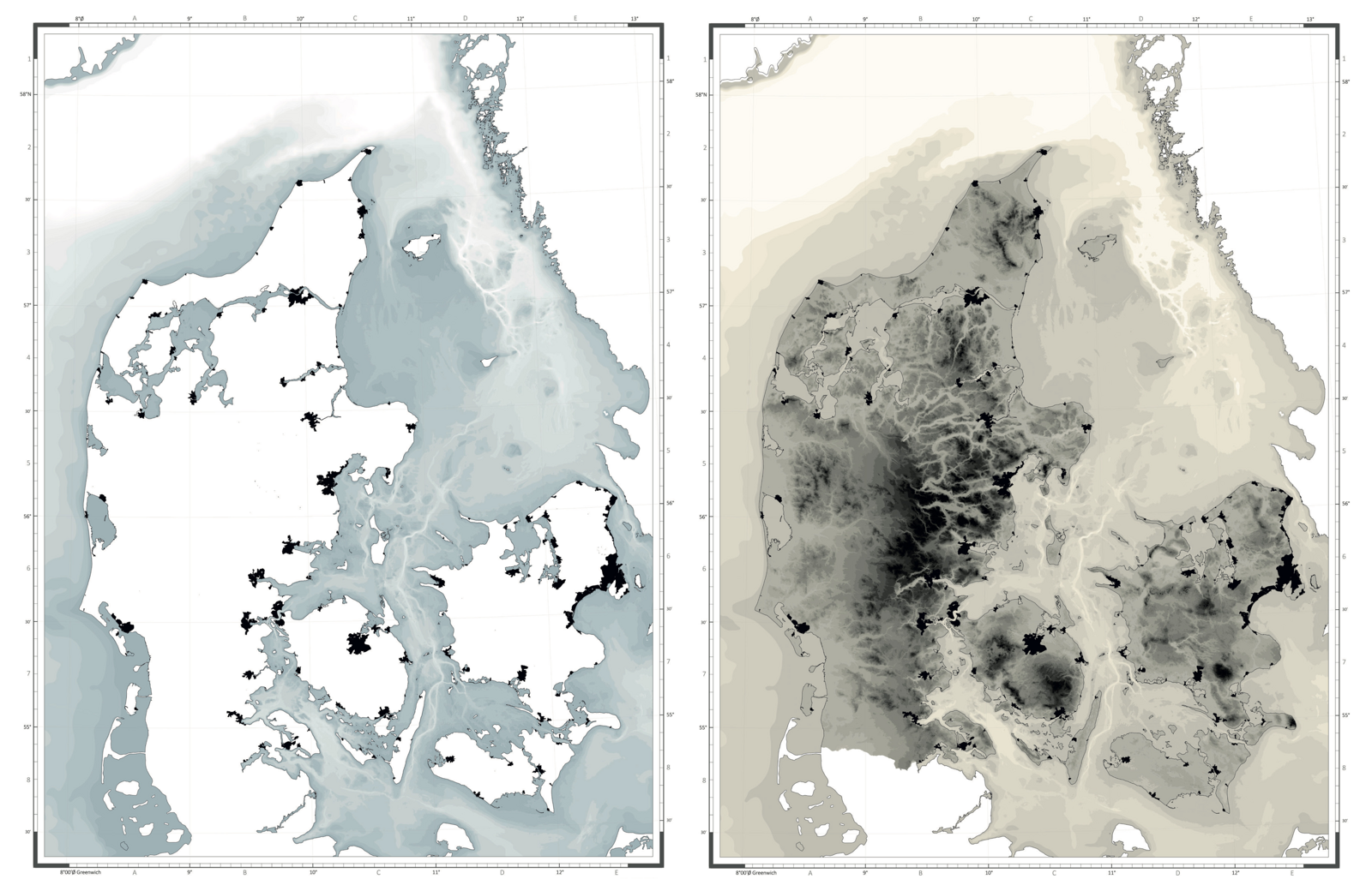
Framing Renovation
One Size Does Not Fit All
Katrina Wiberg
Architecture Essay
Posted: May 22, 2024
Category
Architecture, Urbanism, Borders & Frontiers, Land & territory
Subjects
Maps, Climate change, Water & The Sea
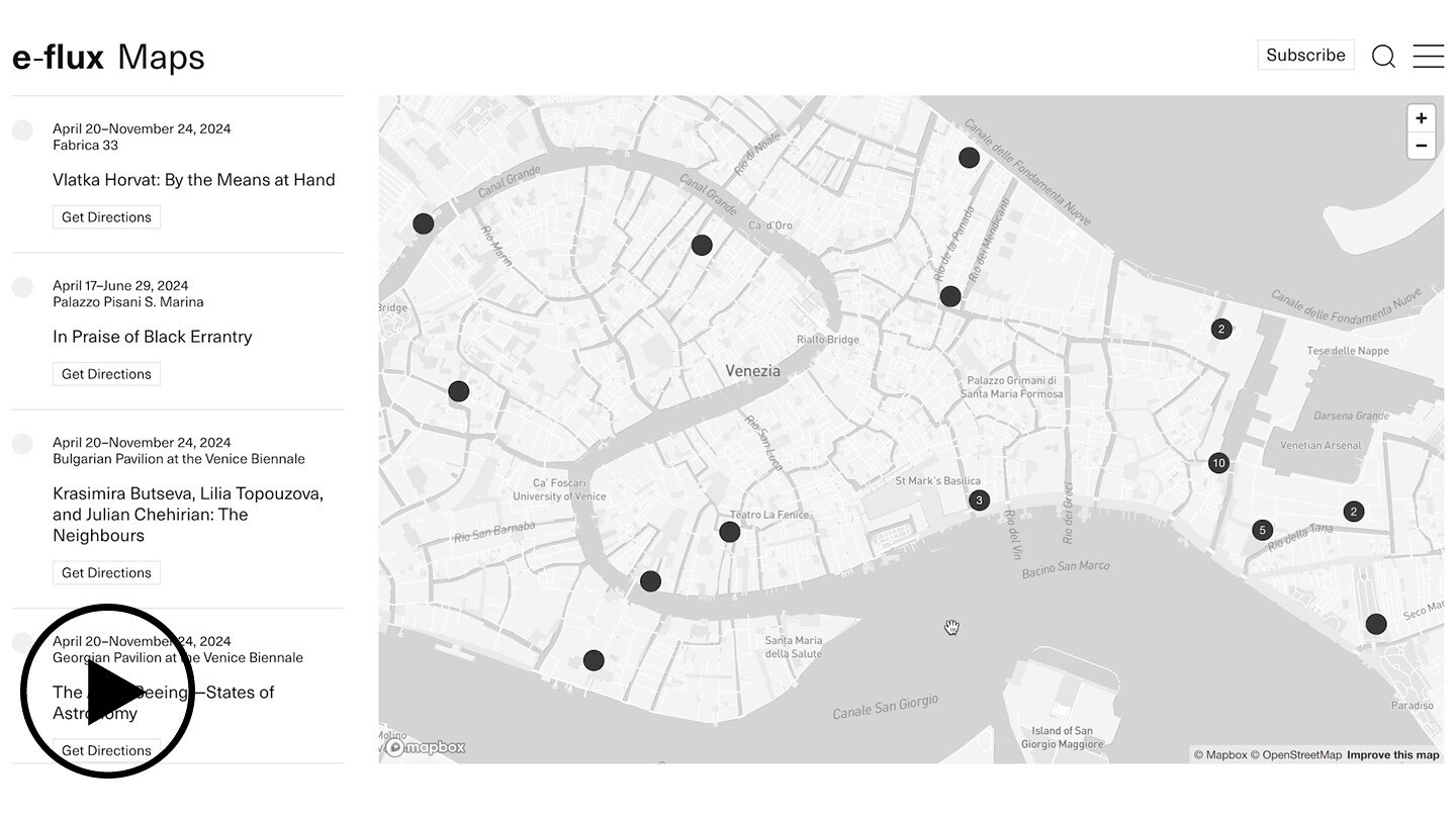
e-flux
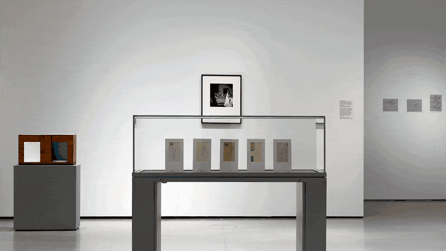
e-flux Maps: Venice 2024
e-flux Announcement
Posted: April 16, 2024
Category
Contemporary Art
Subjects
Maps
Institution
e-flux Criticism
Posted: November 28, 2023
Category
Utopia
Subjects
Maps, Media theory
e-flux Criticism
Posted: November 2, 2023
Subjects
Landscape, Maps, Photojournalism, Extractivism
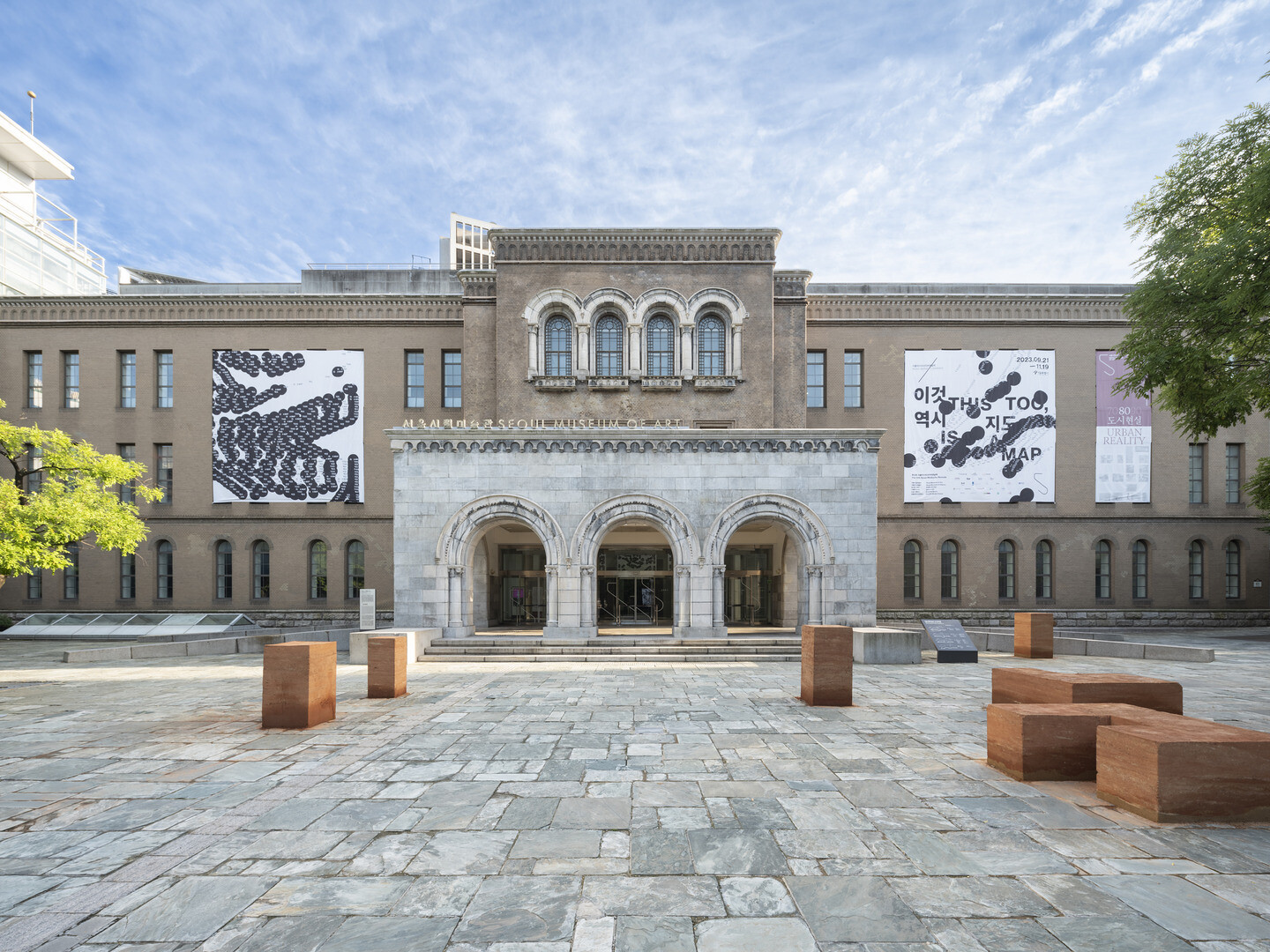
Seoul Mediacity Biennale
THIS TOO, IS A MAP opens
e-flux Announcement
Posted: September 20, 2023
Subjects
Maps, Networks, East Asia
Institution
Navigation begins where the map becomes indecipherable. Navigation operates on a plane of immanence in constant motion. Instead of framing or representing the world, the art of navigation continuously updates and adjusts multiple frames from viewpoints within and beyond the world. Navigation is thus an operational practice of synthesizing various orders of magnitude.
e-flux Books
Posted: September 18, 2023
Subjects
Maps, Public Space, Worldbuilding
e-flux Announcement
Posted: September 18, 2023
Category
Lecture
Subjects
Maps, Politics, Montage
Institution
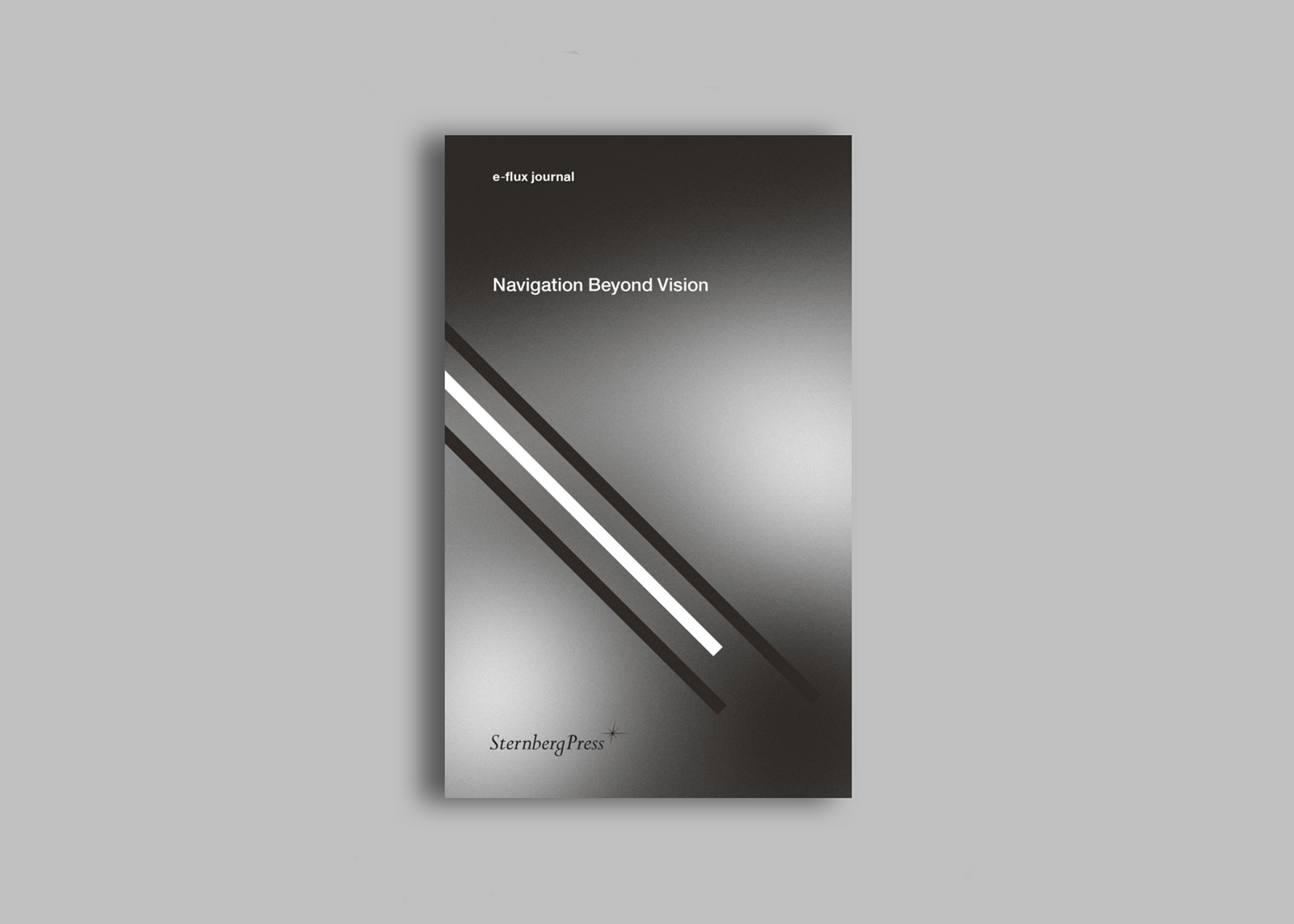
FABER
Atlas of Distances
Architecture Announcement
Posted: September 11, 2023
Category
Design, Architecture
Subjects
Maps
Institution

Seoul Mediacity Biennale
Opening-week events, public programming, and publication
e-flux Announcement
Posted: August 16, 2023
Category
Performance, Music
Subjects
East Asia, Maps
Institution

e-flux Criticism
Posted: July 11, 2023
Category
Modernism, Data & Information
Subjects
Manifestos, Maps
Taiwanese Pavilion at the Venice Biennale
Yuan Goang-Ming to represent Taiwan in Venice, 2024
e-flux Announcement
Posted: July 6, 2023
Category
War & Conflict
Subjects
Maps, East Asia
Institution

KRONE COURONNE
The Performance Agency: Another Map to Nevada Biel/Bienne
e-flux Agenda
Posted: June 2, 2023
Category
Performance
Subjects
Tourism, Maps
Institution

transmediale
a model, a map, a fiction
e-flux Announcement
Posted: January 12, 2023
Category
Urbanism
Subjects
Maps, Public Art
Institution
Centre régional d’art contemporain Occitanie/Pyrénées-Méditerranée
Paul Loubet : 4X—eXplore eXpand eXploit eXterminate / Pauline Curnier Jardin : Pour la peau de Jessica Rabbit
e-flux Announcement
Posted: December 15, 2022
Category
Painting
Subjects
Maps, Games & Play, Mythology
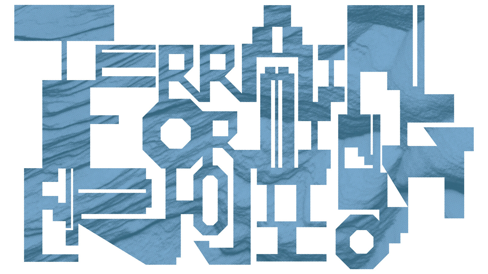
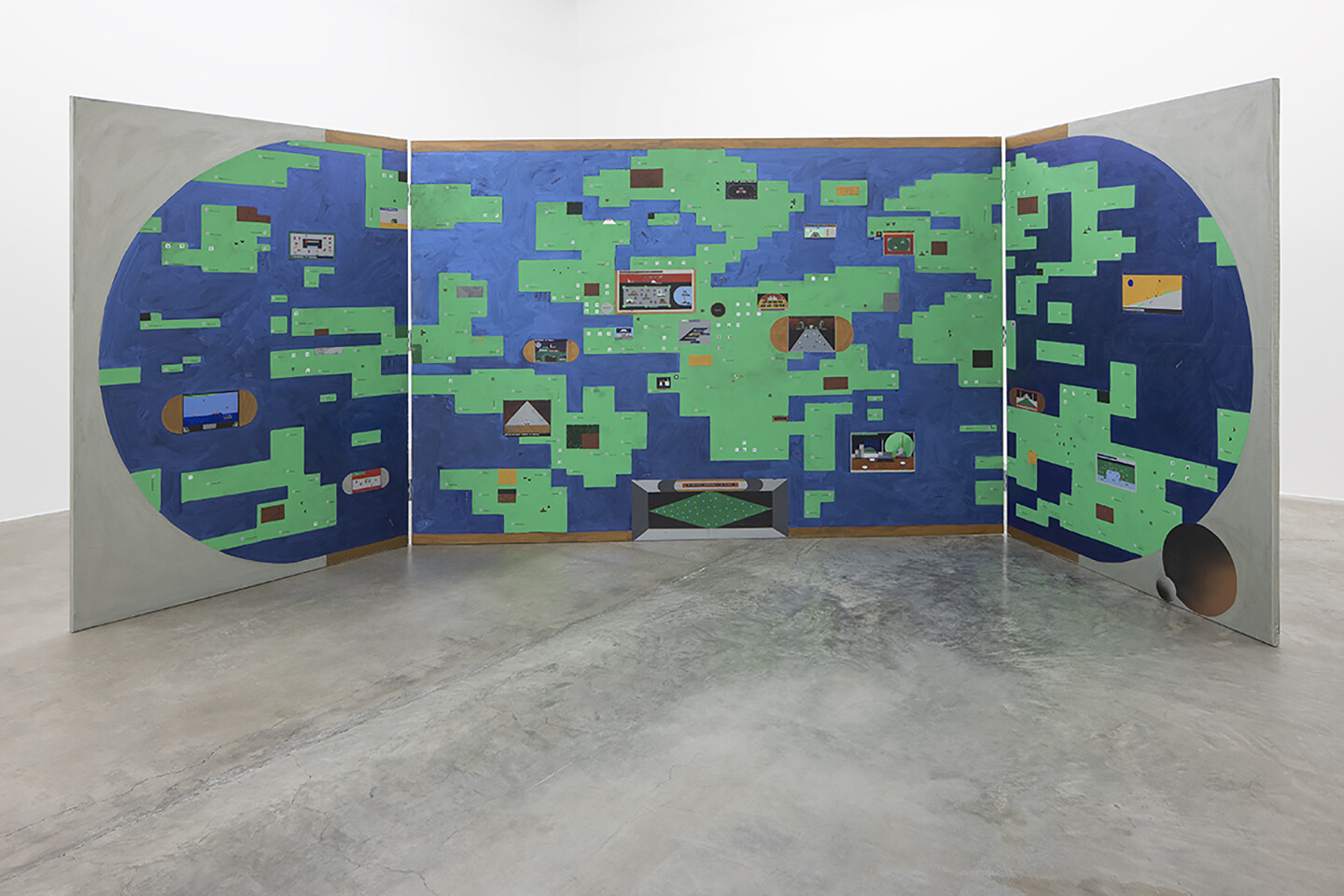
Seoul Mediacity Biennale
Terrainforming
e-flux Announcement
Posted: December 8, 2022
Category
Borders & Frontiers, Land & territory
Subjects
Maps, Territoriality
Institution
Nieuwe Instituut
Vertical Atlas
e-flux Announcement
Posted: October 22, 2022
Category
Globalization
Subjects
Maps, Publications
Institution
John Hansard Gallery
Short film on Jitish Kallat’s Tangled Hierarchy
e-flux Announcement
Posted: August 15, 2022
Category
Borders & Frontiers
Subjects
Maps, Indian Subcontinent
Institution
Mostyn
Temporary Atlas
Spanish Pavilion at the Venice Biennale
Ignasi Aballí: Correction
e-flux Announcement
Posted: April 7, 2022
Category
Architecture
Subjects
Tourism, Maps
Institution
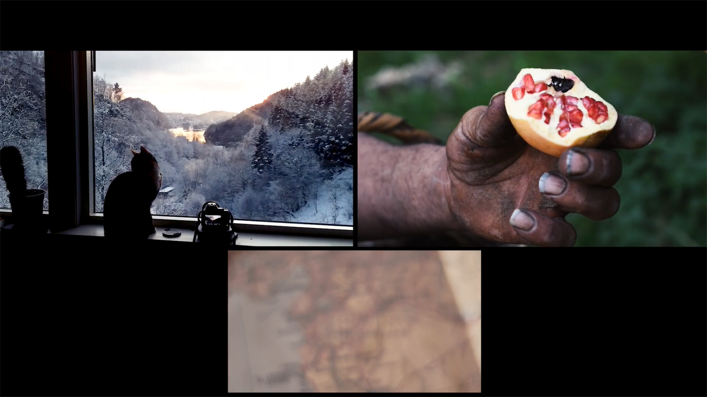
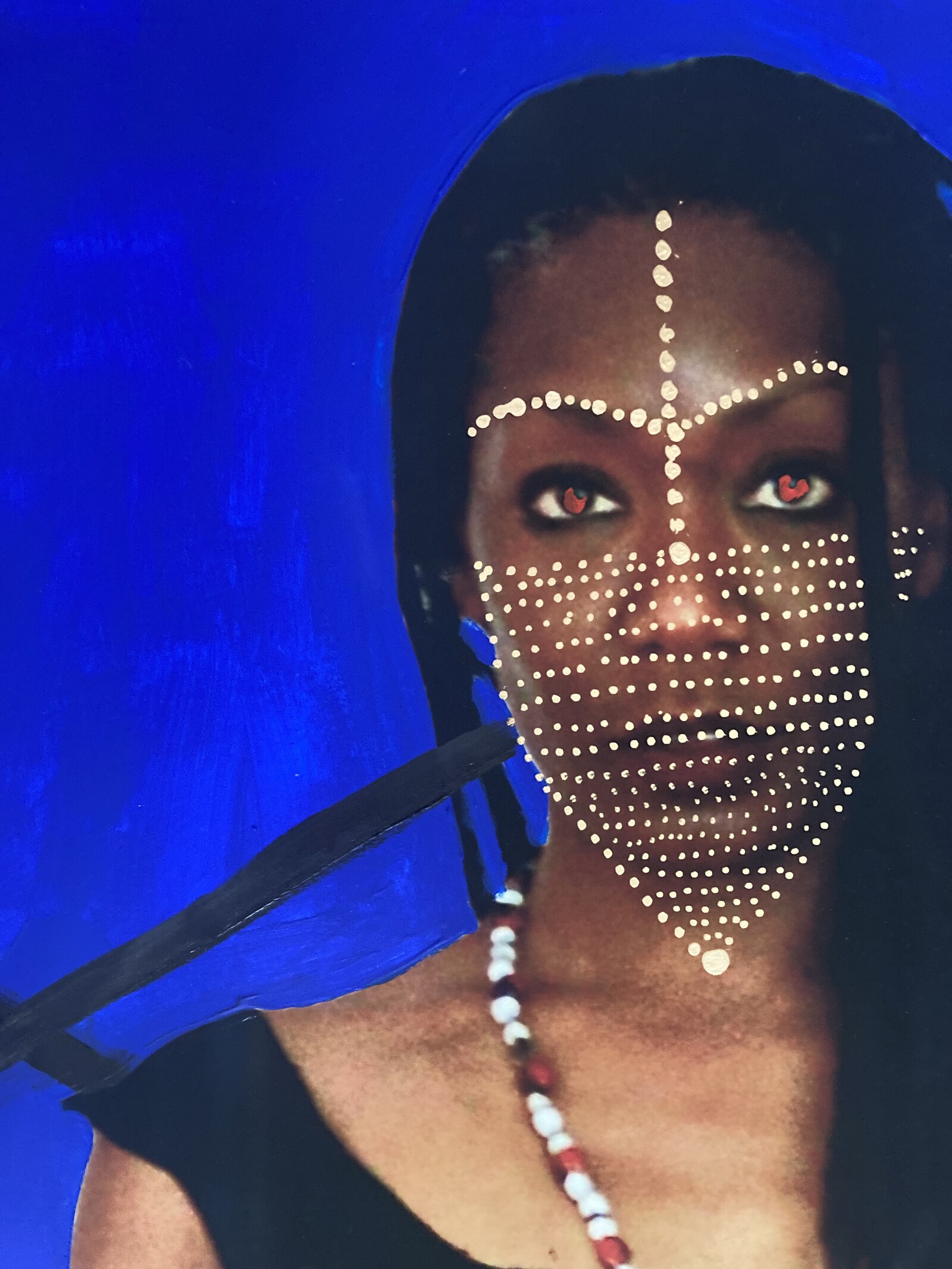
e-flux Film
Category
Film, Land & territory, Migration & Immigration
Subjects
Video Art, Palestine, Maps, Trauma, Middle East, Food & Cooking, Landscape
EMMA—Espoo Museum of Modern Art
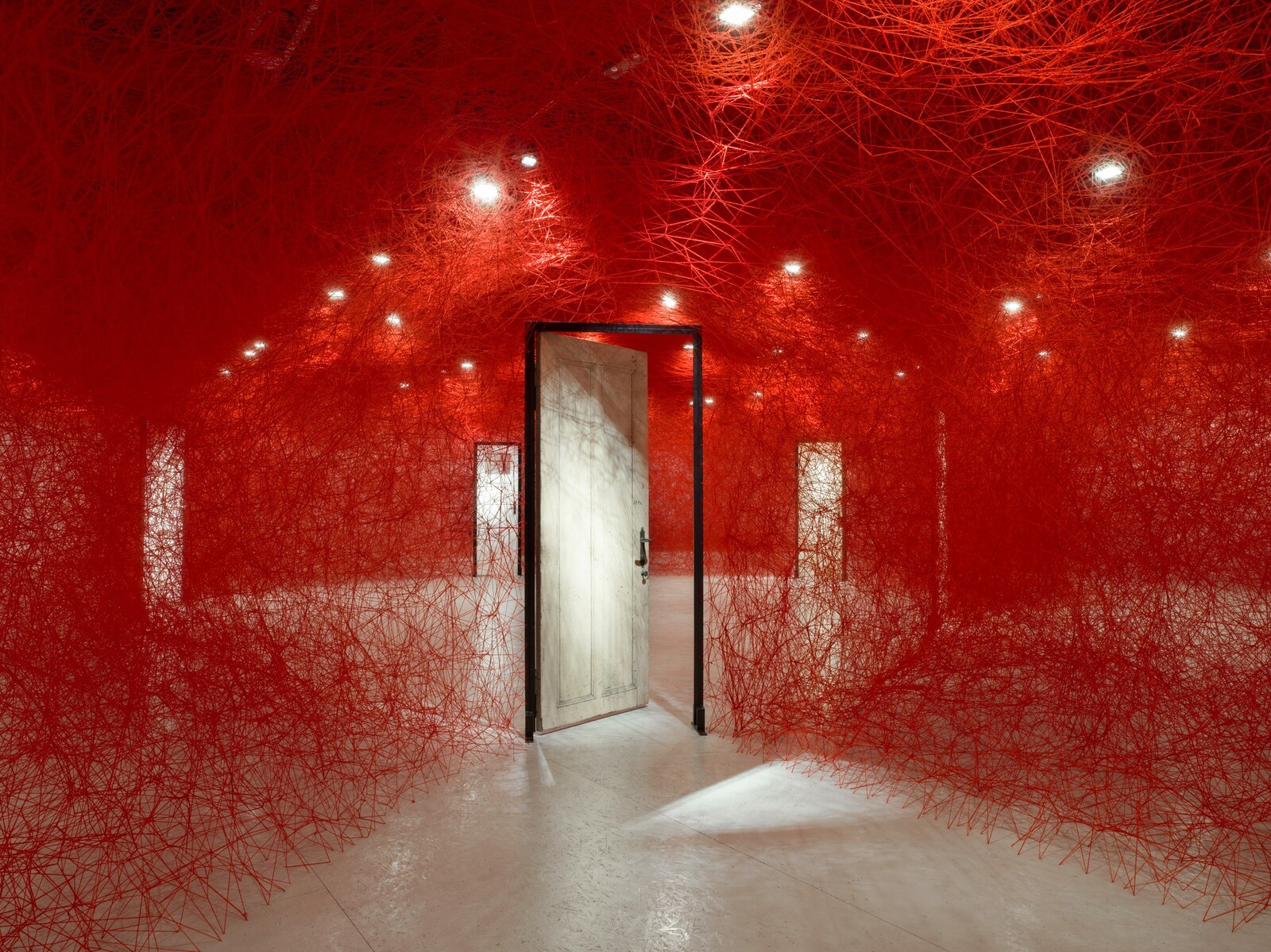
Chiharu Shiota: Tracing Boundaries
e-flux Announcement
Posted: November 3, 2021
Category
Installation
Subjects
Maps, Networks
Institution
Festival Forum: EXiS 2021 Experimental Film and Video Festival in Seoul
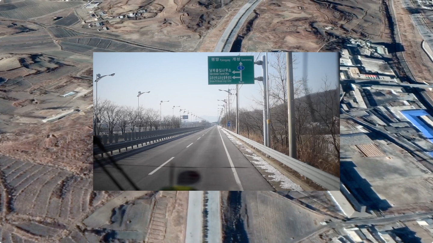
Peninsula Tour
October 28–November 11, 2021
e-flux Film
Category
Film, Land & territory, Data & Information
Subjects
Experimental Film, Video Art, Maps, Southeast Asia

ARKO Art Center
Jeoung Jae Choul: For Love and Peace
e-flux Announcement
Posted: July 1, 2021
Category
Migration & Immigration, Borders & Frontiers
Subjects
Maps
Institution

Urban Theory Lab
Urban Theory Lab: Data-Spheres of Planetary Urbanization
Architecture Announcement
Posted: June 14, 2021
Category
Urbanism
Subjects
Maps
Institution